Dirty Freehub

Photo by: Kevin English
Featured Route:

Honeyman

5 Star (Premiere) Route
Florence, Oregon
A captivating ride with a waterfall, lake-adjacent skinny roads reminiscent of bike trails, sand dunes, a historic boathouse, rolling farmlands, and a logging road climb. A must do! (With shorter option - 45 miles, 4500 feet.)

Explore Gravel Routes by Region

Arizona Gravel Routes
Arizona
Gravel cyclist along river.
British Columbia
Gravel cyclist on dirt path in forest.
California (North)
Gravel Cyclist riding along Twenty Mule Team road in Death Valley, California.
California (South)
Gravel cyclist on dirt road in Colorado.
Colorado
Idaho Gravel Routes
Idaho
Montana Gravel Routes
Montana
Gravel cyclist overlooking Lake Mead, Nevada.
Nevada
Gravel cyclist riding through New Mexico forest of trees.
New Mexico
Oregon Gravel Routes
Oregon
Tasmania Gravel Routes
Tasmania
Utah Gravel Bike Routes
Utah
Gravel cyclist riding rough paved road in Washington state.
Washington

Ride great gravel routes! / 13,000+ miles!

Gravel cycling is our passion. We provide free, five-star, hand-curated gravel ride guides across the Western United States and Tasmania (with a big focus on Oregon and Arizona.) All so you can connect to where you ride … and learn about the culture, history and environment. We hope to inspire you to get more involved!

We do this out of our love for exploration, community and giving back! We are a 501(c)3 non-profit organization. All of our content is free and open to the public. All that we ask is that when you use a Dirty Freehub ride guide, give us a shout-out in your social media posts or the other places you share content (like Strava) and provide a link back to the ride guide on Dirty Freehub.

And … if you think what we do is really cool, and you want to see more routes and ride guides developed, donating to the Dirty Freehub Project is one way you can make this happen.

Our Newest Gravel Routes

Geronimo Trail

5 Star (Quick Build) Route
~ Douglas, Arizona
The gist of the route is this: you start out with a gentle incline across open grasslands, then start to wind yourself up, up and up through a scenic canyon with loads of cottonwood trees, passing by Outlaw Mountain.
Route: Out & Back | 32 mi
Gain: 2,100 ft
Surface: ~ 100% gravel
Technical Difficulty: Easier
Locale: Remote

Roaring Buffalo

5 Star (Quick Build) Route
~ Oakridge, Oregon
This remote forest ride combines smooth gravel roads, wildlife sighting opportunities, and solitude. Riders are rewarded with shaded forests, flowing creeks, and a long, enjoyable descent back to the finish. Keep an eye out for elk, deer, and owls. Spring / Early summer has a display of wildflowers.
Route: Loop | 40 mi
Gain: 3,500 ft
Surface: ~ 65% gravel, 35% paved
Technical Difficulty: Moderate
Locale: Remote

Opal

5 Star (Premiere) Route
~ Prineville, Oregon
You will like this route if you like: up gravel down pavement riding, beautiful forests with big trees, vista views of the rounded mountain tops of the Ochocos and few people. But before you hit the download, look at the hill profile closely. The route starts with a tough climb and ends with an even tougher climb. The roads are rugged, the area remote.
Route: Loop | 38 mi
Gain: 4,200 ft
Surface: ~ 75% gravel, 25% paved
Technical Difficulty: Moderate
Locale: Remote

Dirty Aufderheide

5 Star (Premiere) Route
~ Eugene, Oregon
This route reimagines the classic Aufderheide as a mixed-surface adventure—building on the iconic classic road ride while pushing deeper into the surrounding mountains. It follows roughly 90% of the traditional Aufderheide route, periodically branching off onto remote Forest Service roads that climb high above the river corridors and into quieter, more rugged terrain. The result is a true backcountry experience.
Route: Loop | 124 mi
Gain: 11,100 ft
Surface: 33% gravel, 2% single-track, 65% paved
Technical Difficulty: Moderate
Locale: Remote
Options: Shorter, Credit Card Tour

Deschutes River Rambler (DR2)

Bikepacking Route
Central Oregon, Oregon
The Deschutes River Rambler (DR2) is a 300-mile bikepacking route that traces one of Oregon’s most iconic rivers from its source at Little Lava Lake to its confluence with the Columbia River. Following the Deschutes River as closely as possible—and on as much gravel as possible—the route winds steadily downstream through a remarkable cross-section of Central Oregon landscapes. From the cool forests of the Cascade Mountains, the Rambler rolls through volcanic plateaus and river-cut canyons toward the Warm Springs Reservation.
Duration: 3 Days
Route: Point to Point | 305 mi
Gain: 14,000 ft
Surface: 47% Gravel, 53% Paved
Technical Difficulty: Very Demanding
Locale: Extremely Remote
Options: Credit Card Tour, Bikepacking

Shaniko!

5 Star (Premiere) Route
Shaniko , Oregon
Starting in the historic town of Shaniko, this ride dives deep into Oregon’s high desert and ranch country. You'll roll through wide-open landscapes on quiet paved roads before descending into the hidden gem of Antelope. From there, the loop traces the contours of Antelope Creek, King Creek, and King Canyon—remote and scenic. Expect big skies, rolling terrain, and a healthy dose of solitude.
Route: Lollipop | 34 mi
Gain: 2,900 ft
Surface: ~ 35% gravel / 65% paved
Technical Difficulty: Demanding
Locale: Rural
Options: Shorter

Hauling Lava

5 Star (All Access) Route
Bend, Oregon
This route was created with adaptive athletes in mind, including those using trikes or quads. It’s also a great choice for anyone looking for a shorter ride with minimal climbing and easier terrain. Along the way, you’ll enjoy river views, logging history, and fascinating geology.
Route: Out & Back | 18 mi
Gain: 800 ft
Surface: ~ 55% gravel / 45% paved
Technical Difficulty: Easier
Locale: Urban Backcountry
Options: Longer

The Dirty Eagle

5 Star (Premiere) Route
~ Baker City, Oregon
The mountain panoramas begin the moment you roll out on this view-packed ride. Along the way, you’ll pass the ghost town of Sparta—founded on the promise of gold—the nearby community of New Bridge, which once supplied it with agricultural goods, and the serene banks of Eagle Creek as you ride through the Wallowa-Whitman National Forest. Much of the route features smooth gravel, with some forest road scree and dirt mixed to keep it interesting.
Route: Loop | 51 mi
Gain: 5,700 ft
Surface: ~ 100% gravel
Technical Difficulty: Moderate
Locale: Remote
Options: Bikepacking

Big Bird

5 Star (Premiere) Route
~ Burns, Oregon
This ride explores the rugged landscape of the Oregon High Desert. What we love about this route is the sense of adventure it offers -- the rugged, off-the-beaten-path dirt road that narrows to little more than a trail, the sweeping views of Steens Mountain and the chance to spot pronghorn, coyotes, and birds of prey.
Route: Loop | 24 mi
Gain: 400 ft
Surface: 100% gravel
Technical Difficulty: Moderate
Locale: Extremely Remote
Options: Longer

Boxcar

5 Star (All Access) Route
Maupin, Oregon
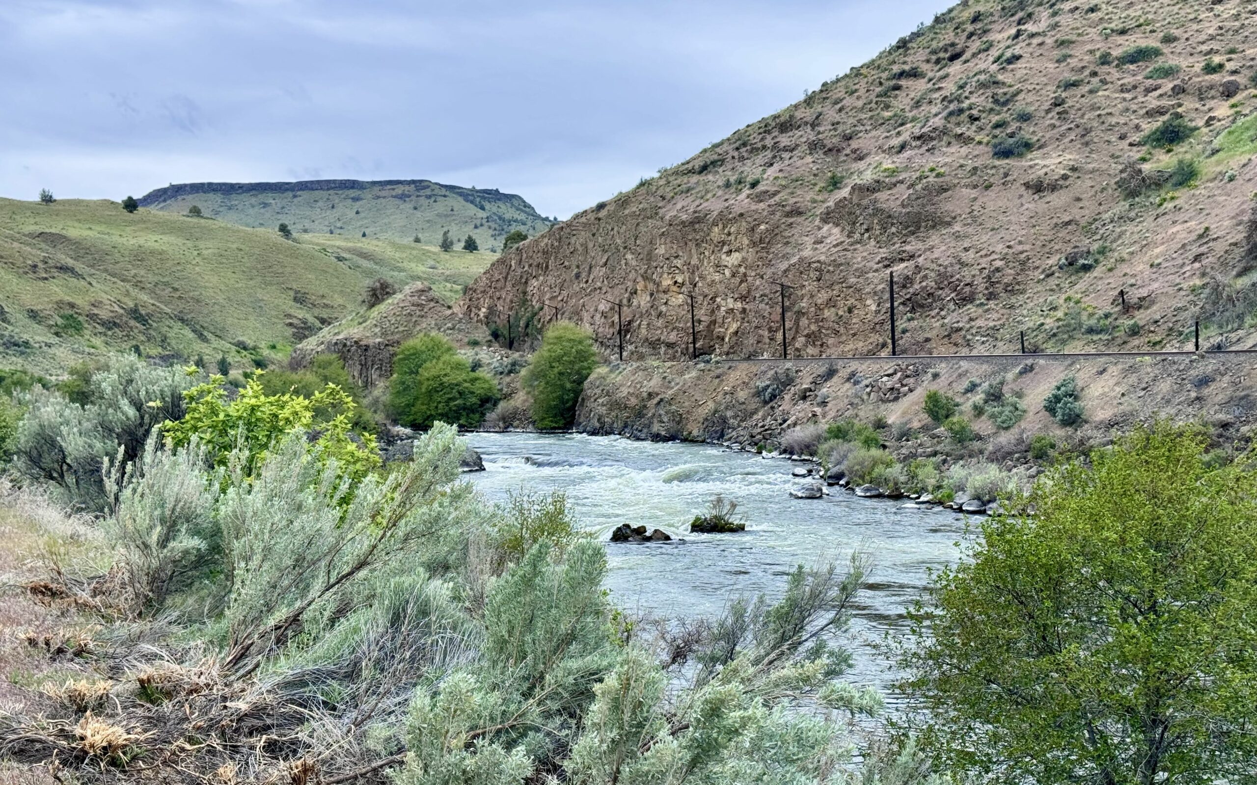
This mellow out-and-back ride traces the Deschutes River through a stunning canyon, with big views, light traffic, and nearly flat terrain. A mix of pavement and gravel, it winds past anglers and historic landmarks—including the site of a dramatic 1954 train derailment that gave Boxcar Rapids its name.
Route: Out & Back | 15 mi
Gain: 400 ft
Surface: ~45% gravel, 55% paved
Technical Difficulty: Easier
Locale: Rural
Options: Longer

OC&E (Yonna Valley Meadows)

5 Star (All Access) Route
~ Klamath Falls, Oregon
This route is steeped in history—from the OC&E Railway and the Klamath Reclamation Project to the profound story of the Modoc War of 1872-1873 that captured the world's attention. The ride follows an old railway bed from Olene to Yonna Valley Meadows, tracing the path of a once-thriving railroad that shaped the history of the Klamath Basin.
Route: Out & Back | 25 mi
Gain: 700 ft
Surface: ~ 100% gravel trail
Technical Difficulty: Easier
Locale: Rural
Options: Shorter, Longer

Alder & Iron

5 Star (All Access) Route
~ Corvallis, Oregon
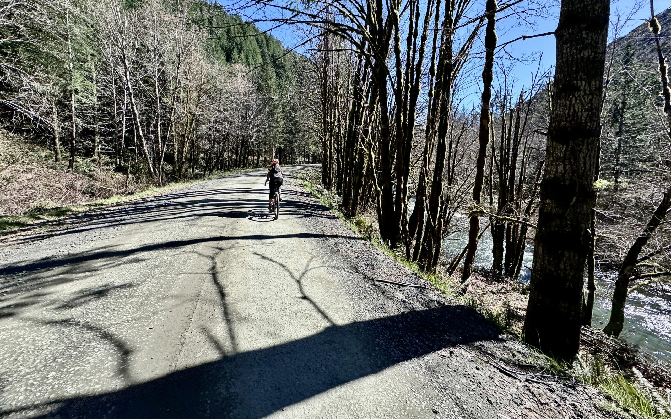
This gravel ride begins at Fort Hoskins Historic Park, once a military outpost built to control Native Americans forcibly relocated to reservations in the mid-1800s. As you ride, you'll trace the path of the old Valley & Siletz Railroad along the gentle grade of the Luckiamute River, passing farms, forest canopies, and a scenic bridge. Near the end you can do a brief out-and-back dogleg on a quiet logging road shaded by a stunning canopy of Red Alder trees.
Route: Out & Back | 17 mi
Gain: 850 ft
Surface: ~50% gravel, 50% paved
Technical Difficulty: Easier
Locale: Rural
Options: Shorter, Longer

Sign Up for the Dirty Freehub Newsletter